53.0 miles from the Jefferson / St Charles Parish line the BASF Corporation is located on three plantation properties, the farthest-downriver of which was Linwood. A grove of large live oaks marks the probable site of the Linwood Plantation house. It was part of the holdings of Duncan Kenner's father, William, after whose death it became the property of Duncan's younger brother, George. The house, a contemporary of Ashland, was set back from the road about half a mile. It was imposing, designed by James Gallier to resemble an Italian villa, with frescoed walls and ceilings reproducing those of the Brenta Villas in Italy and a porte cochère with vaulted ceiling.
During the Civil War, the house was raided by Union soldiers.
The property remained in the family for seventy-five years. It was abandoned in 1900. The mansion was considered beyond restoration and demolished in 1939 by new owners who turned the property into a stock farm.

Linwood, derelict, in a WPA photograph
taken shortly before the house's demolition in 1939 (click on photo for a
larger image).
Courtesy State Library of Louisiana
According to the following information provided by Kaye and taken from Ascension Parish Courthouse Conveyance Records we have this description:
A certain tract of land in the Parish of Ascension on the left bank of
the Mississippi River at
about five miles above the town of Donaldsonville measuring half an arpent
front in said river
by about thirty arpents in depth (more or less) bounded above by lands of Mrs.
Isidore Landry
and below by lands of Daniel G.
Neams together with all the buildings
thereon and thereunto
belonging - being the same property acquired by the present vendor from John
Warner by act
passed before Charles Gecks Recorder on the 26th
of March 1878 and recorded in the Book
of Conveyance No. 30 page 317.
One interesting thing about the way land was measured - they used the arpent. According to Wikipedia: There were various standard arpents. The most common ones were of 180 French feet, used in French North America, and 220 French feet, used in Paris. 1 arpent = 180 French feet (of approximately 32 centimetres) = about 192 English feet = about 58.47 metres Daniel G. Neames' Littledale was 1/2 arpent by 30 arpents. This is 96 ft by 5760 ft which is 552,960 sq ft or 12.69 acres.
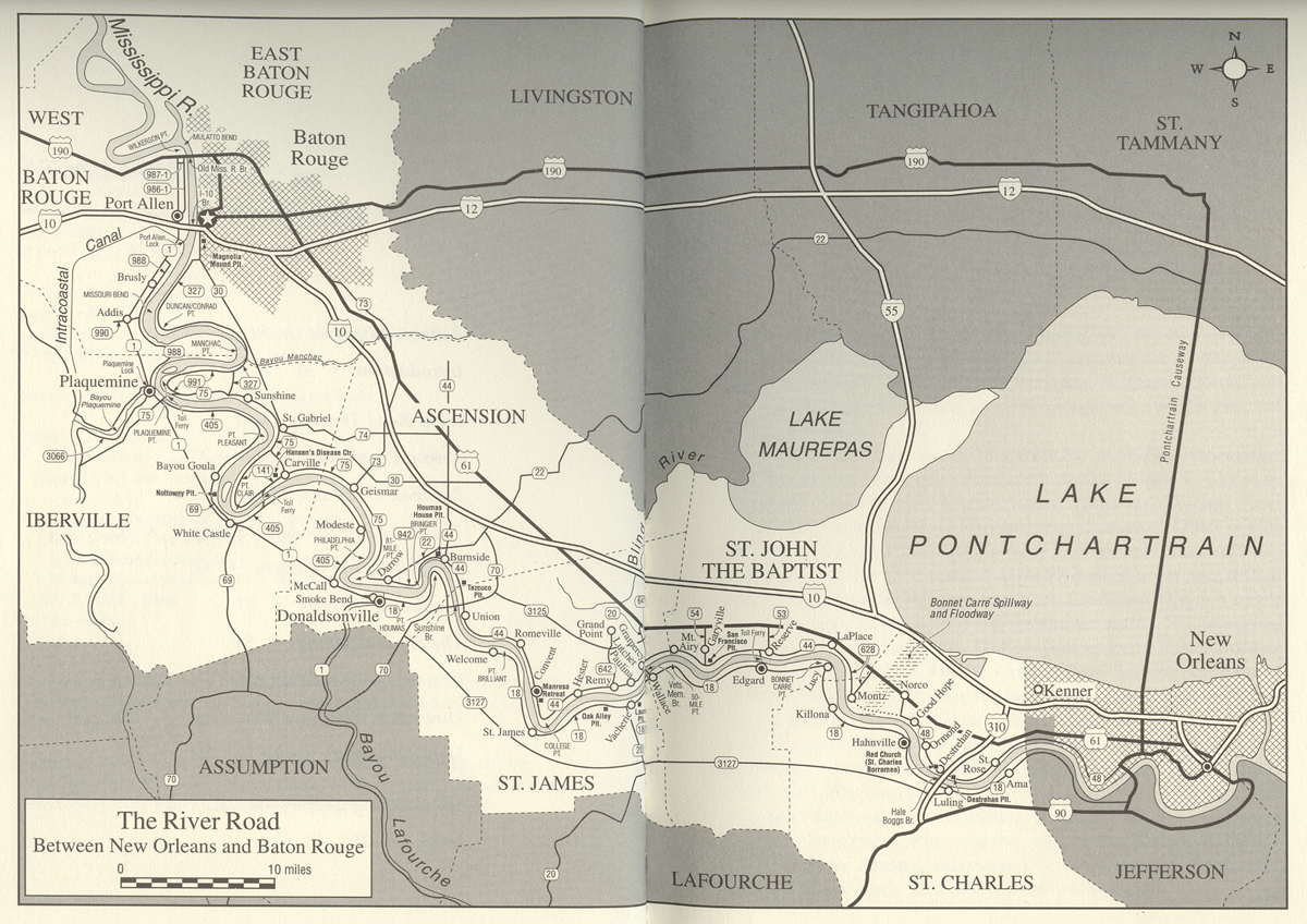
According to Ascension Parish Courthouse employees, this would suggest that Littledale would be somewhere along the east bank of the river. And due to MA Neames' being born at Linwood Plantation, Littledale may have been near there. Here is a detailed map from 1862 showing many of the property names.
Check out this Google Maps Sattelite photo of the same area.
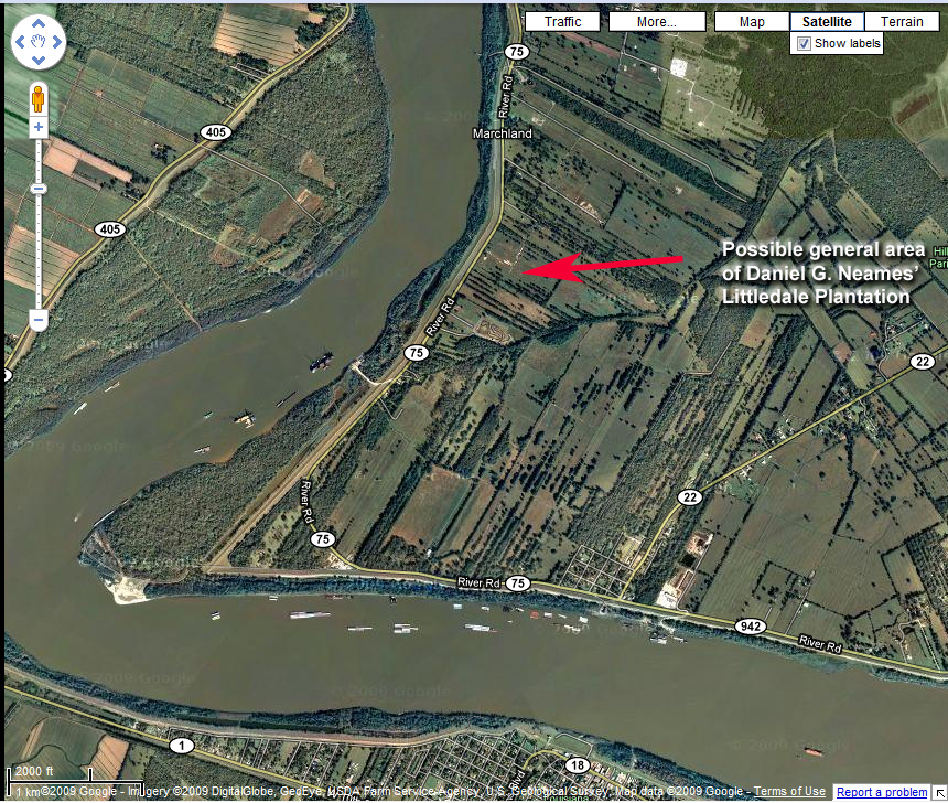